Southwest Day 1
Southwest
Day 01 - Wednesday, May 20, 2009 -Monument, CO to Cortez, CO
We left Elephant Rock under deep blue skies and bright sunshine at 8:52 am. It was 71º - a beautiful day to begin a road trip. We topped the gas tank at Fillmore Street in Colorado Springs and headed south to Walsenburg.
Our trip through La Veta Pass was excellent. The road has been repaired and there were adequate passing lanes. It was very green in The Valley; the aspens were almost all leafed out. As we went through the small towns we saw all of the gorgeous lilac bushes in various shades of lavender and white.
There was a paving crew resurfacing Main Street in Alamosa. Even though I drove slowly at a snail's pace and tried to dodge every rock, I still picked up a little tar….
Gennie needed to buy some sunscreen so we stopped just west of Alamosa, got gas, and had a sandwich at Subway. By 1:00 we were on our way on US Route 160 through Monte Vista, Del Norte, and then over Wolf Creek Pass.
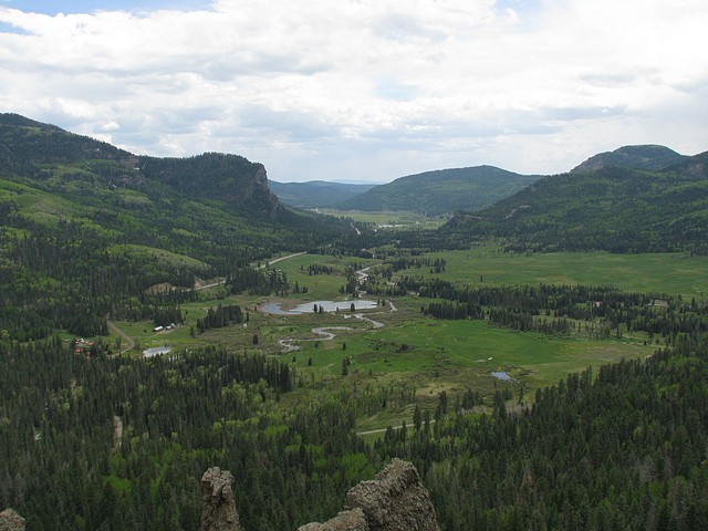
It was 2:15 when we crossed the Continental Divide at 10,550 feet at the top of Wolf Creek. We stopped to take a few photos and a panorama at the top of Colorado. We also stopped at Treasure Falls in the San Juan National Forest. The water running in the creeks and rivers were swift and high.
We got to Cortez, at a little before 5:00 and found our Turquoise Inn, Best Western right on Main Street. This was our destination for the evening. We located a car wash close to our hotel and got the tar and bugs off of the little red car.
Our Best Western desk clerk Tia, gave us a great recommendation for dinner and we had an excellent meal at Francisca's - great Mexican food and a fun local clientele who were very friendly.
We came back to our room and Gennie worked on the journal and then her classes while I sorted photos and mapped our journey on the Garmin Vista GPS.
Accommodations: Best Western Turquoise Inn and Suites
Total Distance Driven: 394
| Miles Traveled | Gallons | Avg. Price | MPG |
| 196.6 | 6.25 | $2.59 Prem | 31.44 |
| 197.4 | 6.06 | $2.60 Prem | 32.60 |
Comments
Looks like you still have some snow around. The last shot looks very familiar to me and I just found an almost identical shot from a trip back in '84. Have a great trip.
I envy you for this trip--always one of my favorites. I was hoping to see you before you took off again. We got home late Tuesday from France. Call me when you get back; we can't do the Brazillian restaurant since it has closed. Enjoy
You guys are on the road again? Some really super shots - the hawk searching for food.
You guys are on the road again? Some really super shots - the hawk searching for food.
Post a Comment!Another great trip; I am looking forward to reading and seeing more. You guys never stay home.
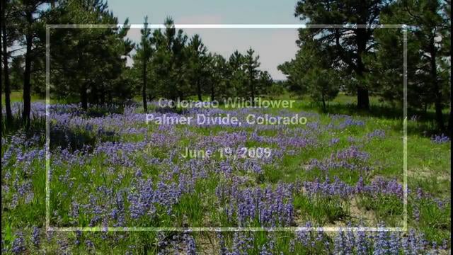
Colorado Wildflowers (HD) (0:48)

Palmer Divide and Pikes Peak
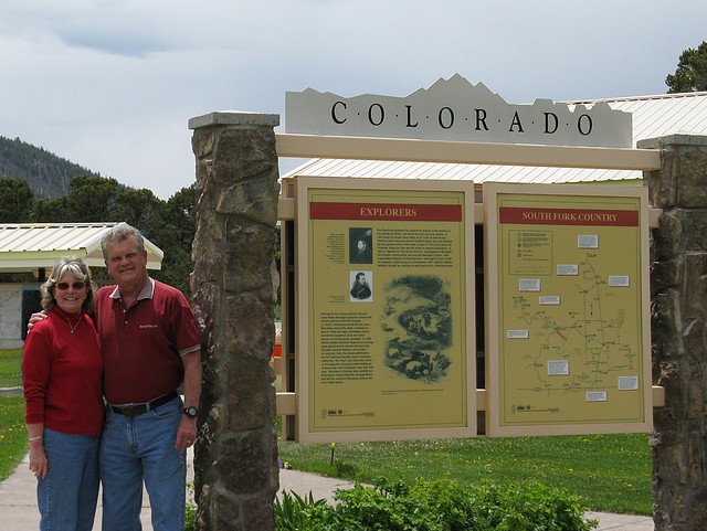
Vic and Gennie at South Fork
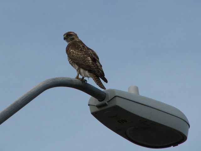
Hawk on Lampost
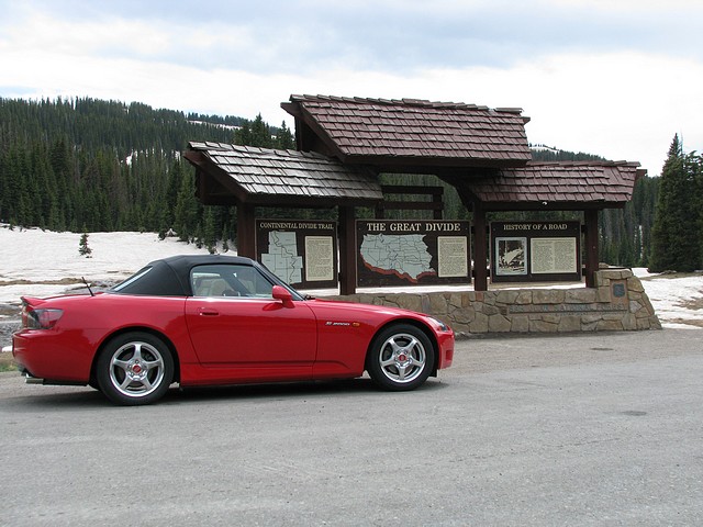
Wolf Creek Pass-Continental Divide
Looking West to San Juan National Fo...
Featured Journal
Day 18: Mediterranean Navigation
Day 18 - Wednesday, March 19, 2025 – Disembark Ship & Return to USA
It was a dark and rainy morning when we put our luggage outside of our cabin door at 4:15. We met three of our fellow passengers also on the same flight...